Monte Amariana : Différence entre versions
De Topo Paralpinisme
(Page créée avec « == Caractéristiques == *'''Lieu''': Monte Amariana au-dessus de Tolmezzo. *'''Orientation''' : Nord Ouest *'''Hauteur''': 1140m *'''Matériel''': Rien *'''Posé''': Cham... ») |
|||
| Ligne 12 : | Ligne 12 : | ||
Exit Coordonnées GPS: 46.402644, 13.074804 | Exit Coordonnées GPS: 46.402644, 13.074804 | ||
| − | |||
{|class="wikitable" | {|class="wikitable" | ||
Version du 4 novembre 2022 à 10:06
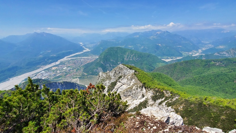
Caractéristiques
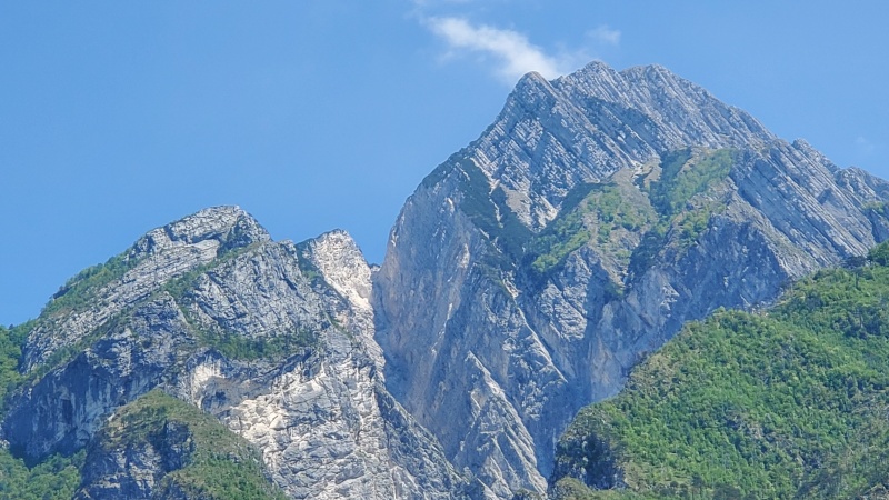
- Lieu: Monte Amariana au-dessus de Tolmezzo.
- Orientation : Nord Ouest
- Hauteur: 1140m
- Matériel: Rien
- Posé: Champs
- Première:
Acces: 2h
Exit Coordonnées GPS: 46.402644, 13.074804
| Deniv | Avancée | Commentaire |
|---|---|---|
| 139m | 31m | |
| 145m | 42m | |
| 366m | 175m | |
| 386m | 342m |

